About AerialPhotonics

San Diego's dedicated aerial intelligence partner for environmental monitoring, land management, and precision mapping.

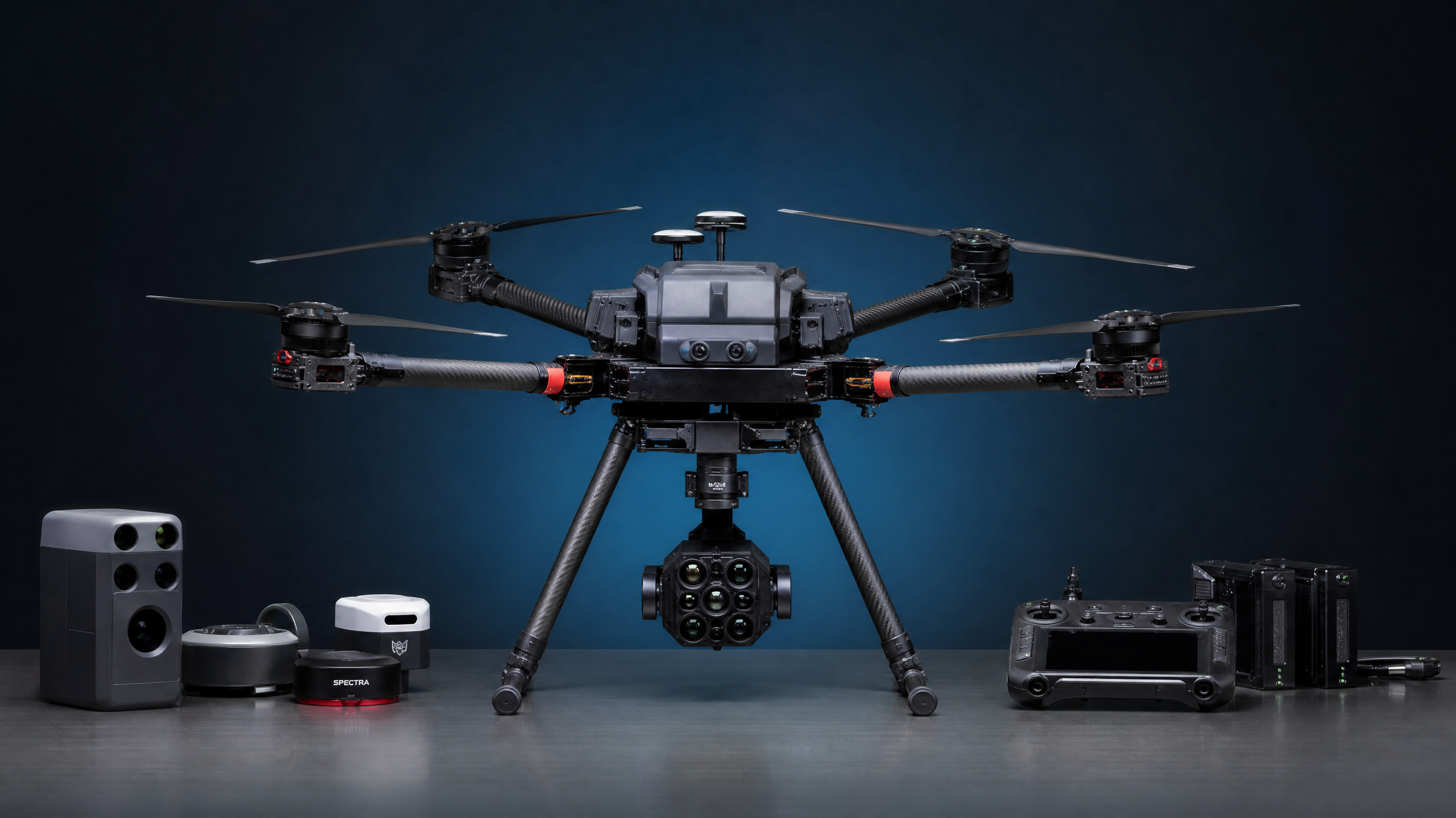
AerialPhotonics UAV equipment
✈️
FAA Part 107
Certified

Precision Data for a Healthier Landscape

AerialPhotonics was founded with a clear mission: to bring the power of advanced aerial imaging technology to the land managers, conservationists, and agricultural professionals who need it most. Based in El Cajon, California, we serve clients throughout San Diego County and the greater Southern California region.

We recognized that the same multispectral imaging technology used in satellite-based remote sensing could be deployed at a fraction of the cost — and with far greater resolution and flexibility — using modern unmanned aerial vehicle systems. That insight drives everything we do.

Our team combines expertise in UAV operations, remote sensing science, photogrammetry, and GIS to deliver not just raw data, but actionable intelligence. We don't just fly drones — we solve problems.

📍
El Cajon, CA Serving all of San Diego County
✈️
FAA Part 107 Certified Licensed commercial drone operations
🛡️
Fully Insured Commercial liability coverage
🌿
Environmental Focus Dedicated to sustainable land management

Our Mission & Values

We believe that better data leads to better decisions — and better decisions lead to healthier landscapes.

🎯

Precision

We are committed to delivering the highest quality data products. Every flight, every dataset, and every report is held to rigorous accuracy standards.

🤝

Partnership

We work alongside our clients as true partners. We take the time to understand your goals and tailor our services to deliver maximum value for your specific needs.

🌿

Stewardship

We are passionate about the landscapes we serve. Our work is driven by a genuine commitment to supporting healthy, resilient ecosystems in Southern California.

What Sets Us Apart

🏙️
Local San Diego Expertise We know San Diego's landscapes, ecosystems, airspace, and regulatory environment. We're not a national franchise — we're your neighbors, and we're invested in this region's health.
🔬
Scientific Rigor Our multispectral workflows include proper radiometric calibration with reference panels, ensuring that your vegetation index data is scientifically valid and comparable across survey dates.
📊
Actionable Reporting We don't just hand you a file and walk away. Every project includes a written report with clear findings and prioritized recommendations that your team can act on immediately.
🔄
Long-Term Monitoring Programs The real power of aerial data comes from repeated surveys over time. We design monitoring programs with consistent protocols that enable meaningful change detection and trend analysis.

Based in El Cajon, Serving All of San Diego County

Our primary service area is San Diego County, with extended service available throughout Southern California.

📍

AerialPhotonics

1651 E Main St, STE 105

El Cajon, CA 92021

Primary Service Area
All of San Diego County
Extended Service
Southern California (travel fees may apply)

Let's Work Together

Contact us to discuss your project and learn how AerialPhotonics can help you achieve your land management goals.

Get in Touch