Industries We Serve

Specialized aerial intelligence solutions for the sectors that depend on healthy, productive land.

Park NDVI vegetation analysis
🏛️
Primary
Client Focus

City & County of San Diego — Parks & Recreation

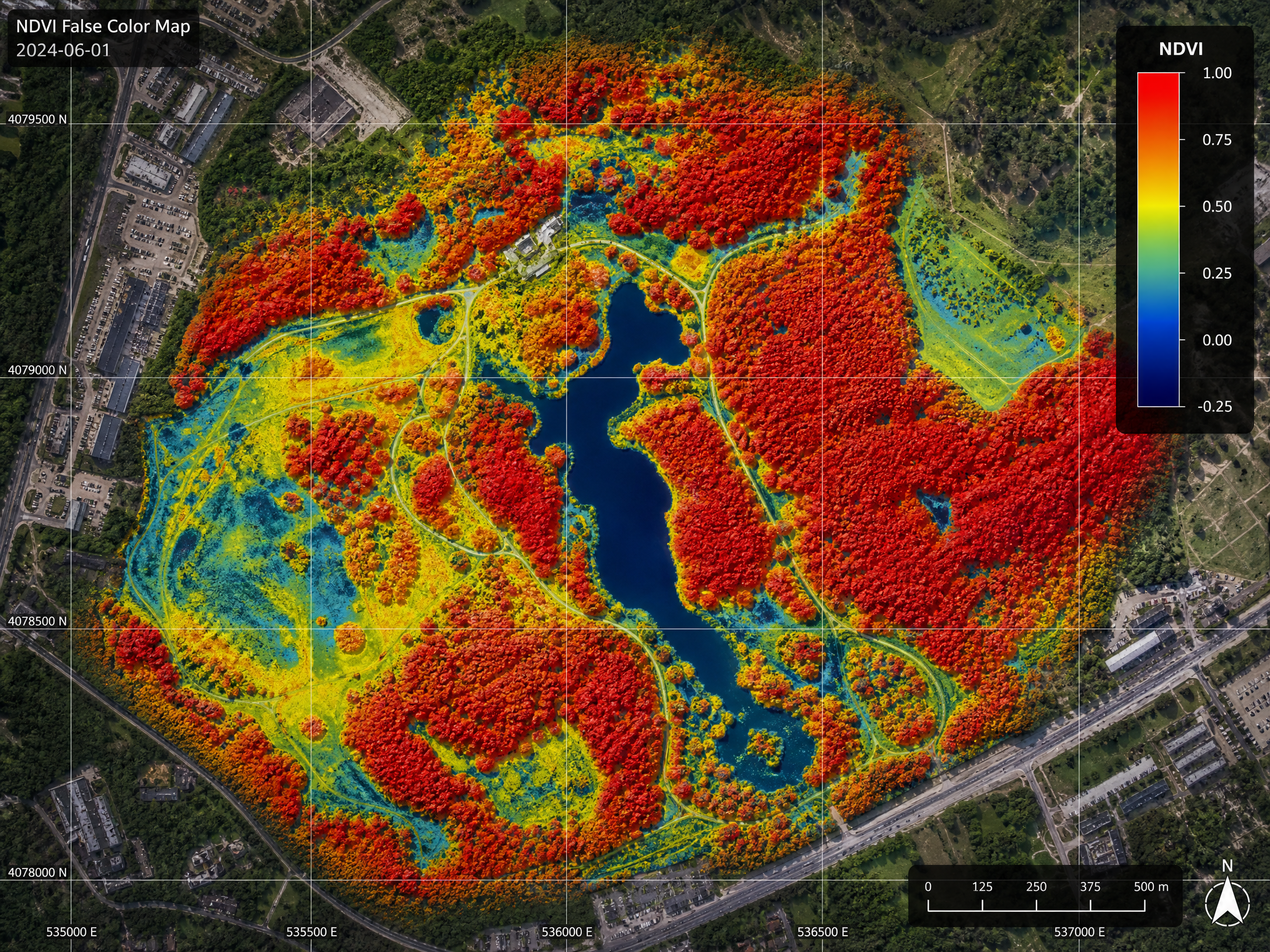
AerialPhotonics is a dedicated partner for San Diego's parks and open space management teams. We understand the unique challenges of managing thousands of acres of urban parks, natural preserves, and recreational facilities with limited budgets and staff.

Our aerial intelligence platform provides the data-driven insights that allow parks departments to prioritize resources, respond to problems early, and document the health of public green spaces over time.

Tree canopy health assessment across entire park systems
Early detection of disease, pest damage, and drought stress
Invasive species mapping and eradication tracking
Native habitat restoration monitoring for grant compliance
Irrigation performance analysis for water conservation
Repeatable survey protocols for longitudinal monitoring

Request a Parks Survey
Golf course aerial multispectral

Golf Course Superintendents

Golf courses represent significant investments in turf quality and aesthetics. A single multispectral survey can identify irrigation failures, early-stage disease, and stress patterns across an entire 18-hole course in a single morning — data that would take weeks to gather on foot.

We work directly with golf course superintendents to deliver actionable reports that integrate with existing turf management programs.

Full-course NDVI and NDRE turf health maps
Irrigation dry spot and over-watering detection
Fungal disease and pest stress early warning
Seasonal comparison and trend analysis
High-resolution orthomosaic for course documentation
Request a Golf Survey
Agricultural multispectral crop health

Farmland & Crop Monitoring

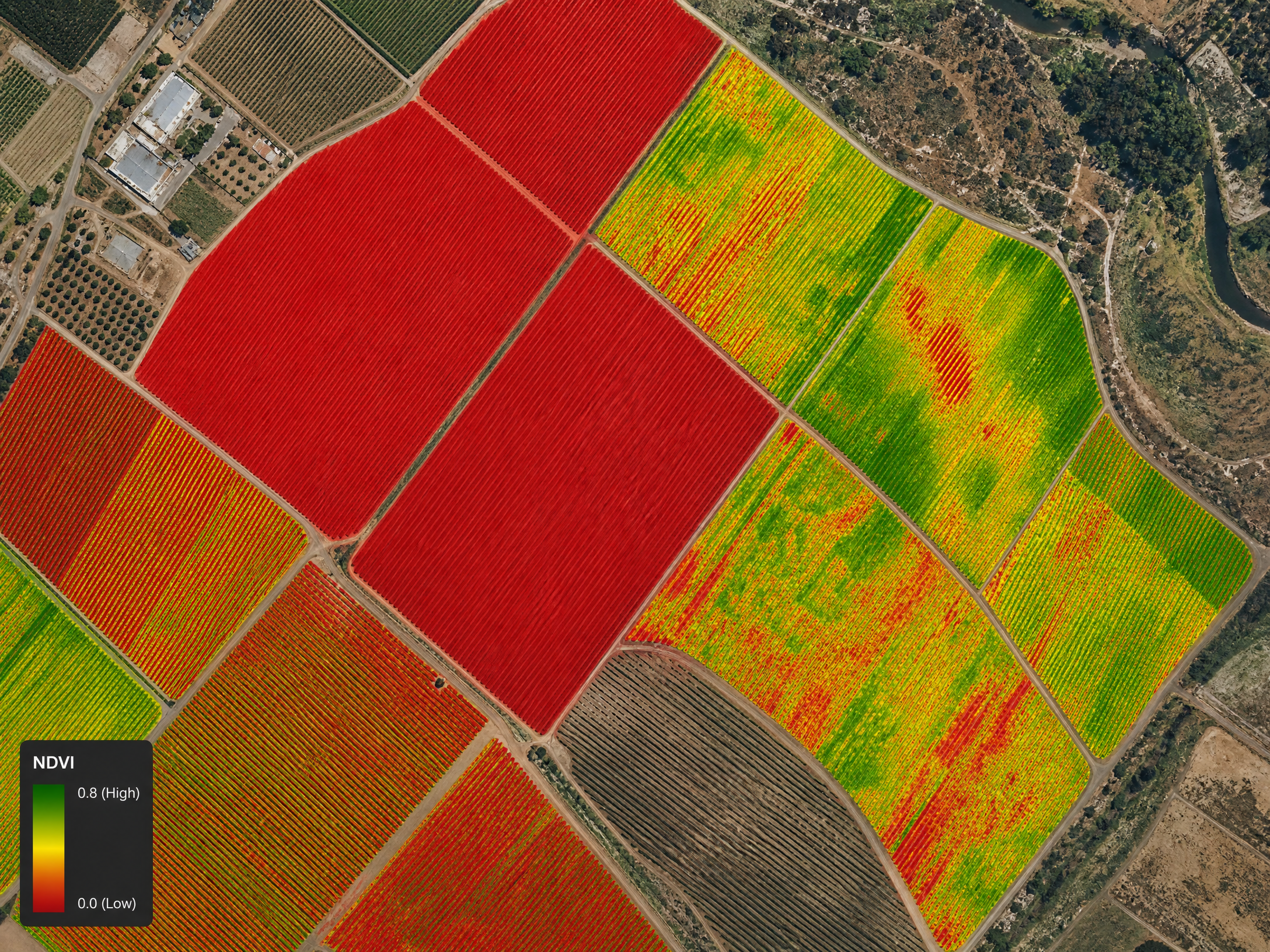
Southern California's agricultural sector — from avocado and citrus orchards to row crops and vineyards — faces unique challenges including water scarcity, pest pressure, and market demands for quality. Our precision agriculture services help growers make data-driven decisions that improve yield and reduce input costs.

Crop vigor and health mapping (NDVI, NDRE, EVI)
Water stress and irrigation efficiency analysis
Pest and disease early detection
Variable rate application zone delineation
Harvest readiness assessment
GIS-ready shapefiles for precision equipment integration
Request an Ag Survey
Environmental restoration monitoring

Environmental Monitoring & Conservation

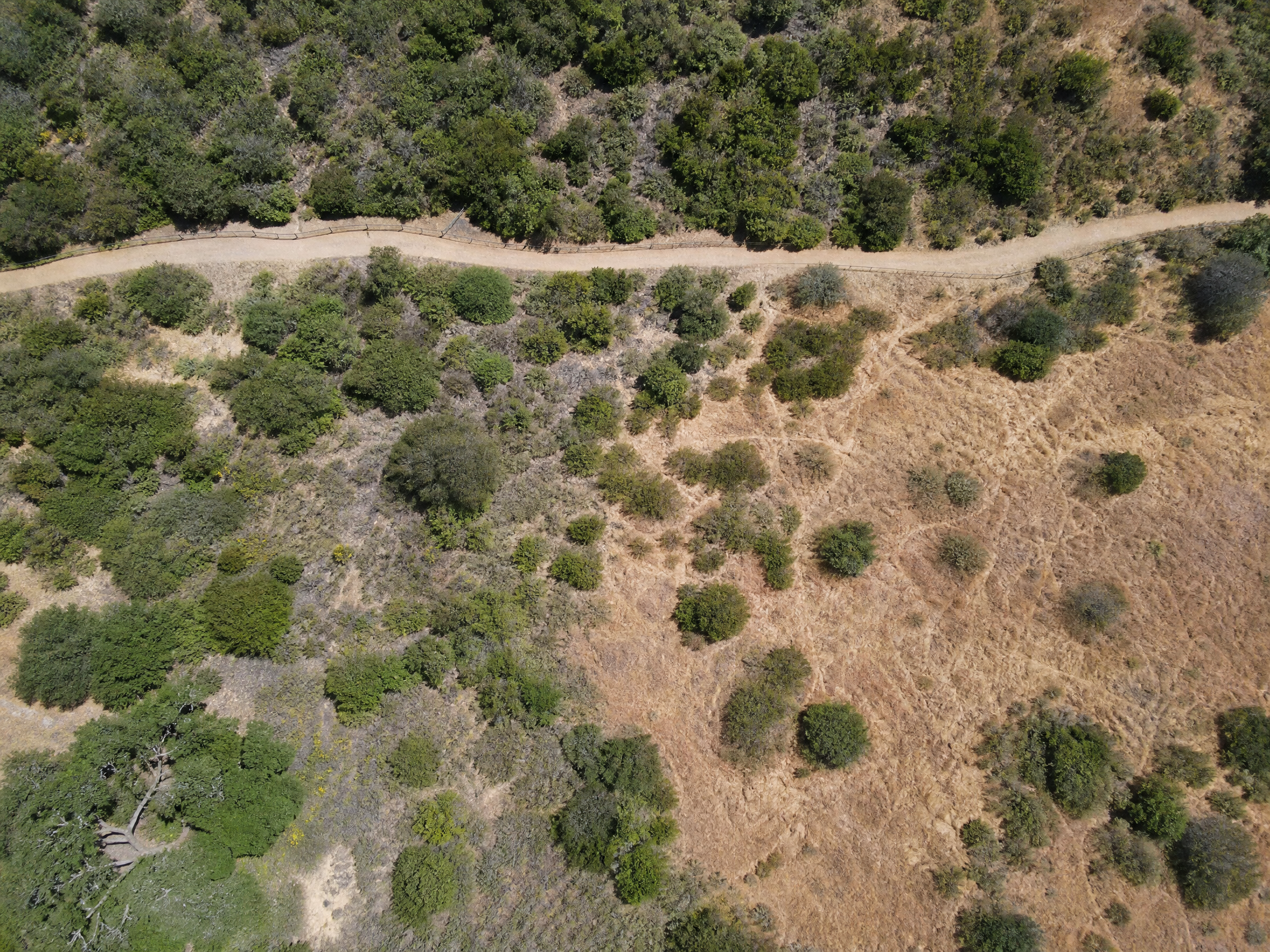
Environmental consultants, land trusts, and conservation organizations rely on defensible, repeatable data to document baseline conditions, demonstrate project success, and meet regulatory reporting requirements. Our aerial surveys provide exactly that.

Pre-project baseline vegetation surveys
Post-disturbance recovery monitoring
Wetland delineation support
Fire recovery and post-burn assessment
Mitigation monitoring for CEQA/NEPA compliance
Request an Environmental Survey

Government & Municipal Applications

Beyond parks, we support a wide range of municipal and government applications requiring aerial data.

🏙️

Urban Tree Inventory

Map and assess the health of every tree in a city's urban forest using aerial canopy analysis.

🌊

Watershed Monitoring

Track vegetation health in sensitive watershed areas to support water quality management.

🔥

Fire Fuel Mapping

Identify high-risk fuel load areas and support defensible space planning with detailed aerial data.

📋

Infrastructure Inspection

Aerial inspection of parks infrastructure, trails, and facilities for maintenance planning.

Don't See Your Industry Listed?

If your work involves land, vegetation, or spatial data, we likely have a solution. Contact us to discuss your specific needs.

Talk to Our Team