Project Overview
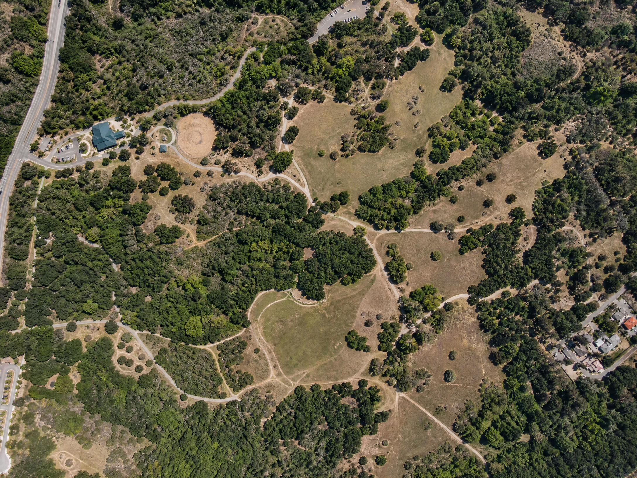
Large-area aerial mapping of a 350-acre open space preserve. The high-resolution orthomosaic provided a current basemap for land management planning and was integrated into the county's GIS system.
Interactive 3D Model
Project Details
Category
Environmental
Location
San Diego County, CA
Area Surveyed
350 acres
Date
2023
Services Used
Orthomosaic
GIS
Land Management
Environmental